
 Winkler
Doaktown
Shediac
Bathurst
Rothesay
Miramichi
Memramcook
Sussex
Oromocto
Houston
Rocky Mountain House
Vernon
Botsford Portage
Richmond
Burnside
North Vancouver
Langley
Timmins
Welland
Winkler
Doaktown
Shediac
Bathurst
Rothesay
Miramichi
Memramcook
Sussex
Oromocto
Houston
Rocky Mountain House
Vernon
Botsford Portage
Richmond
Burnside
North Vancouver
Langley
Timmins
Welland
Camrose on the map, Canada
Where is located Camrose
Exact location — Camrose, Division No. 10, Alberta, Canada, marked on the map with a red marker.
Coordinates
Camrose, Canada coordinates in decimal format: latitude — 53.0222045, longitude — -112.8285983. When converted to degrees, minutes, seconds Camrose has the following coordinates: 53°1′19.94 north latitude and -112°49′42.95 east longitude.
Population
Camrose, Division No. 10, Alberta, Canada, according to our data the population is — 15,687 residents, which is about 0% of the total population of the country (Canada).
Comparison of the population on the graph:
Exact time
Time zone for this location Camrose — UTC -6 America/Edmonton. Exact time — friday, 7 july 2024 year, 11 h. 17 minutes.
Sunrise and sunset
Camrose, sunrise and sunset data for a date — friday 5.07.2024.
| Sunrise | Sunset | Day (duration) |
|---|---|---|
| 05:19 +1 minute | 21:53 -0 minutes | 16 h. 36 minutes. -1 minute |
You can control the scale of the map using the auxiliary tools to find out exactly where it is located Camrose. When you change the scale of the map, the width of the ruler also changes (in kilometers and miles).
Nearby cities
The largest cities that are located nearby:
- Edmonton — 72 km
- Calgary — 235 km
- Saskatoon — 429 km
- Kelowna — 588 km
- Regina — 645 km
- Spokane
 (United States) — 685 km
 - Abbotsford — 816 km
- Coquitlam — 829 km
- Anmore — 831 km
- Surrey — 839 km
- Burnaby — 841 km
- Vancouver — 850 km
- Delta — 856 km
- Richmond — 858 km
- Bellevue (United States) — 920 km
- Victoria — 925 km
- Seattle (United States) — 928 km
- Tacoma (United States) — 963 km
- Boise (United States) — 1074 km
Distance to neighboring capitals:
- Washington (United States) — 3135 km
- Nuuk
 (Greenland) — 3587 km
 - Mexico City
 (Mexico) — 3918 km
 - Saint John
 (Puerto Rico) — 5550 km
 - Belgrade
 (Serbia) — 8267 km
 - Podgorica
 (Montenegro) — 8456 km
 - Hagåtña
 (Guam) — 9626 km
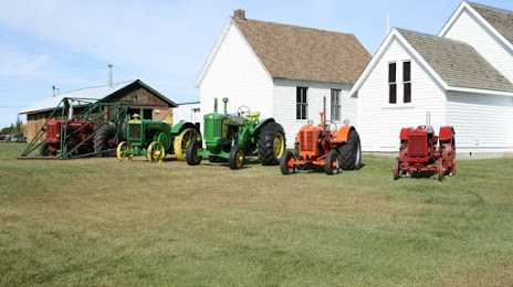
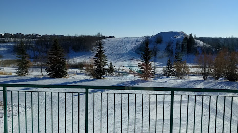
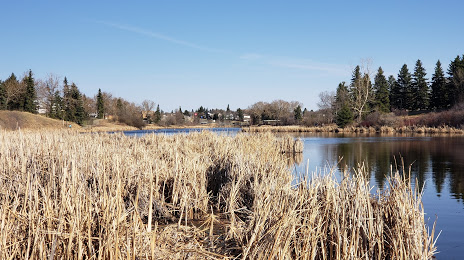
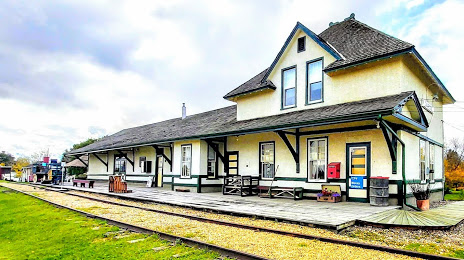
Attractions
Distance to the capital
Distance to the capital (Ottawa) is about — 2791 km.