
 Minnedosa
Cranberry Portage
Winkler
Doaktown
Shediac
Bathurst
Rothesay
Miramichi
Memramcook
Vernon
Botsford Portage
Richmond
Burnside
North Vancouver
Langley
Timmins
Welland
Mount Pearl
Thunder Bay
Minnedosa
Cranberry Portage
Winkler
Doaktown
Shediac
Bathurst
Rothesay
Miramichi
Memramcook
Vernon
Botsford Portage
Richmond
Burnside
North Vancouver
Langley
Timmins
Welland
Mount Pearl
Thunder Bay
Yellowknife on the map, Canada
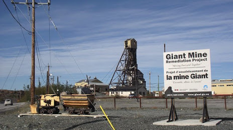
Where is located Yellowknife
Exact location — Yellowknife, Fort Smith Region, Northwest Territories, Canada, marked on the map with a red marker.
Coordinates
Yellowknife, Canada coordinates in decimal format: latitude — 62.4539717, longitude — -114.3717886. When converted to degrees, minutes, seconds Yellowknife has the following coordinates: 62°27′14.3 north latitude and -114°22′18.44 east longitude.
Population
Yellowknife, Fort Smith Region, Northwest Territories, Canada, according to our data the population is — 15,866 residents, which is about 0% of the total population of the country (Canada).
Comparison of the population on the graph:
Exact time
Time zone for this location Yellowknife — UTC -6 America/Edmonton. Exact time — wednesday, 7 july 2024 year, 02 h. 47 minutes.
Sunrise and sunset
Yellowknife, sunrise and sunset data for a date — wednesday 3.07.2024.
| Sunrise | Sunset | Day (duration) |
|---|---|---|
| 04:01 +1 minute | 23:21 -2 minutes | 19 h. 18 minutes. -3 minutes |
You can control the scale of the map using the auxiliary tools to find out exactly where it is located Yellowknife. When you change the scale of the map, the width of the ruler also changes (in kilometers and miles).
Nearby cities
The largest cities that are located nearby:
- Edmonton — 987 km
- Saskatoon — 1255 km
- Calgary — 1261 km
- Kelowna — 1436 km
- Regina — 1494 km
- Anmore — 1576 km
- Coquitlam — 1578 km
- Burnaby — 1584 km
- Vancouver — 1587 km
- Abbotsford — 1590 km
- Surrey — 1590 km
- Richmond — 1600 km
- Delta — 1604 km
- Spokane
 (United States) — 1651 km
 - Victoria — 1685 km
- Bellevue (United States) — 1742 km
- Seattle (United States) — 1746 km
- Tacoma (United States) — 1786 km
- Winnipeg — 1853 km
Distance to neighboring capitals:
- Nuuk
 (Greenland) — 3007 km
 - Washington (United States) — 3620 km
- Mexico City
 (Mexico) — 4927 km
 - Saint John
 (Puerto Rico) — 6123 km
 - Belgrade
 (Serbia) — 7435 km
 - Podgorica
 (Montenegro) — 7644 km
 - Hagåtña
 (Guam) — 9233 km
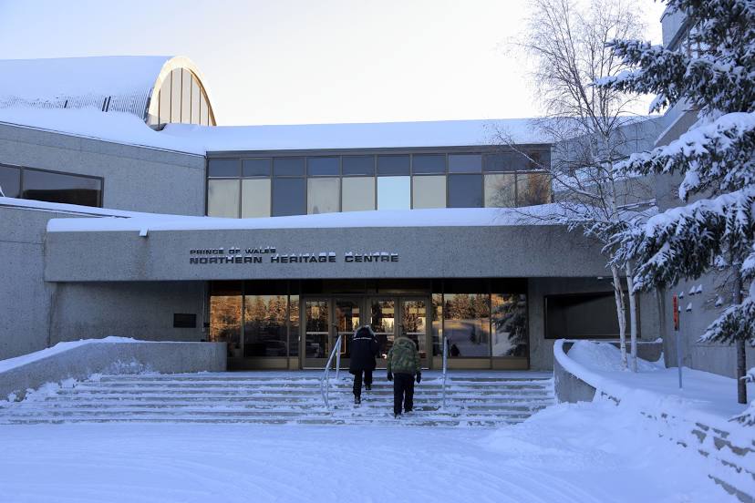
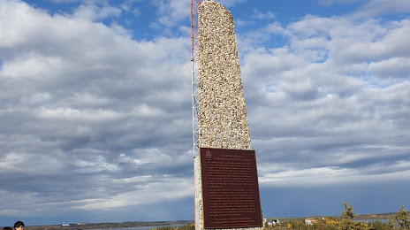
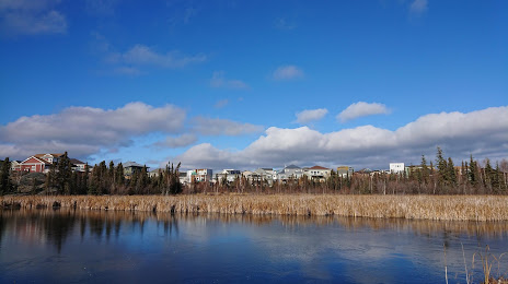
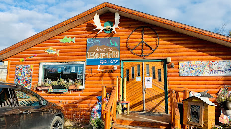
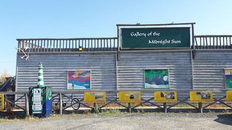
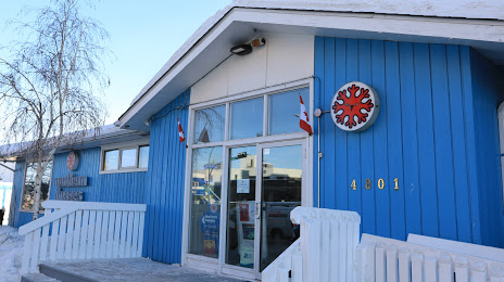
Attractions
Distance to the capital
Distance to the capital (Ottawa) is about — 3087 km.