
 Sainte-Foy
Lawrencetown
Lennoxville
Prince George
Port Moody
Levis
Mont-Joli
Thunder Bay
Mount Pearl
Flin Flon
Surrey
Moncton
Aurora
Oshawa
Whitby
York
Saint-Laurent
Côte Saint-Luc
Saint-Leonard
Sainte-Foy
Lawrencetown
Lennoxville
Prince George
Port Moody
Levis
Mont-Joli
Thunder Bay
Mount Pearl
Flin Flon
Surrey
Moncton
Aurora
Oshawa
Whitby
York
Saint-Laurent
Côte Saint-Luc
Saint-Leonard
Medicine Hat on the map, Canada
Where is located Medicine Hat
Exact location — Medicine Hat, Division No. 1, Alberta, Canada, marked on the map with a red marker.
Coordinates
Medicine Hat, Canada coordinates in decimal format: latitude — 50.0405486, longitude — -110.6764258. When converted to degrees, minutes, seconds Medicine Hat has the following coordinates: 50°2′25.97 north latitude and -110°40′35.13 east longitude.
Population
Medicine Hat, Division No. 1, Alberta, Canada, according to our data the population is — 63,140 residents, which is about 0.2% of the total population of the country (Canada).
Comparison of the population on the graph:
Exact time
Time zone for this location Medicine Hat — UTC -6 America/Edmonton. Exact time — wednesday, 7 july 2024 year, 02 h. 33 minutes.
Sunrise and sunset
Medicine Hat, sunrise and sunset data for a date — wednesday 3.07.2024.
| Sunrise | Sunset | Day (duration) |
|---|---|---|
| 05:24 +1 minute | 21:30 -0 minutes | 16 h. 6 minutes. -1 minute |
You can control the scale of the map using the auxiliary tools to find out exactly where it is located Medicine Hat. When you change the scale of the map, the width of the ruler also changes (in kilometers and miles).
Nearby cities
The largest cities that are located nearby:
- Calgary — 261 km
- Saskatoon — 357 km
- Edmonton — 429 km
- Regina — 430 km
- Spokane
 (United States) — 567 km
 - Kelowna — 629 km
- Boise (United States) — 837 km
- Abbotsford — 851 km
- Coquitlam — 878 km
- Anmore — 882 km
- Surrey — 885 km
- Burnaby — 891 km
- Bellevue (United States) — 900 km
- Delta — 900 km
- Vancouver — 901 km
- Richmond — 906 km
- Seattle (United States) — 910 km
- Tacoma (United States) — 935 km
- Victoria — 948 km
Distance to neighboring capitals:
- Washington (United States) — 2911 km
- Mexico City
 (Mexico) — 3555 km
 - Nuuk
 (Greenland) — 3721 km
 - Saint John
 (Puerto Rico) — 5273 km
 - Belgrade
 (Serbia) — 8465 km
 - Podgorica
 (Montenegro) — 8643 km
 - Hagåtña
 (Guam) — 9874 km
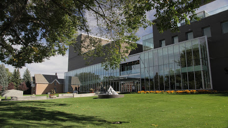
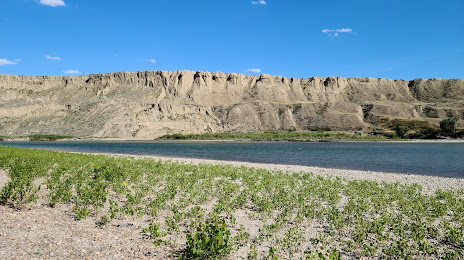
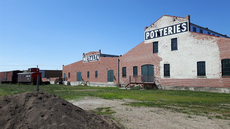
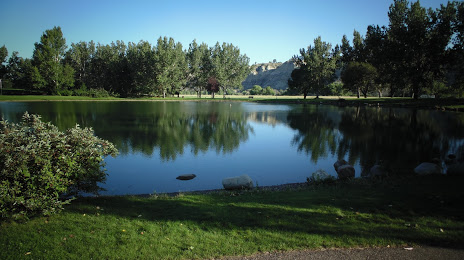
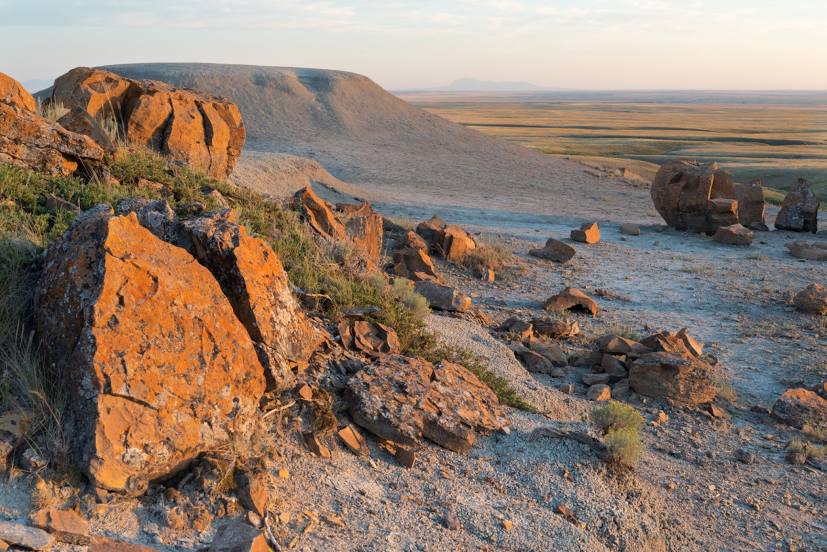
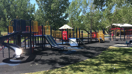
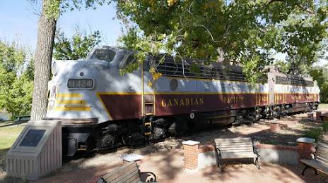
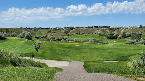
Attractions


Distance to the capital
Distance to the capital (Ottawa) is about — 2641 km.