
 Pointe-à-la-Croix
Sainte-Irène, Quebec
Marsoui
Hecla
Muskrat Dam
Wunnummin Lake
Sainte-Brigitte-de-Laval
Drayton
Mauricie
Pointe-à-la-Croix
Sainte-Irène, Quebec
Marsoui
Hecla
Muskrat Dam
Wunnummin Lake
Sainte-Brigitte-de-Laval
Drayton
Mauricie
Bowring Park on the map, Mount Pearl, Canada
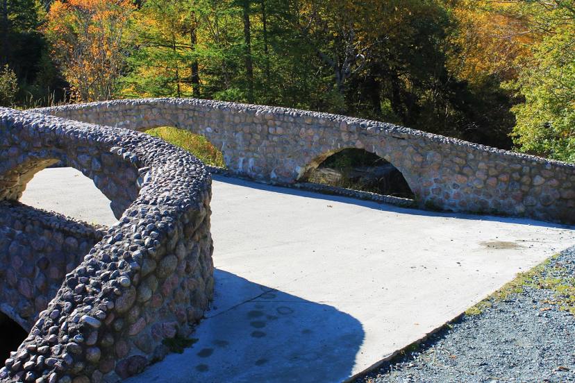
Photo
Where is located Bowring Park
Bowring Park — local attraction, which is located at 305 Waterford Bridge Rd, St. John's, NL A1E 1E7, Canada and belongs to the category — park. Average visitor rating for this place — 4.8 (according to 1713 ratings, information from open sources and relevant for 2022).
Exact location — Bowring Park, marked on the map with a red marker.
You can get directions to Bowring Park on the map from your location.
What else is interesting in Mount Pearl? You can see all the sights if you go to the city page.
Coordinates
Bowring Park, Canada coordinates in decimal format: latitude — 47.52434528542175, longitude — -52.75735935184729. When converted to degrees, minutes, seconds Bowring Park has the following coordinates: 47°31′27.64 north latitude and -52°45′26.49 east longitude.
Nearby cities
The largest cities that are located nearby:
- Dartmouth — 903 km
- Halifax — 905 km
- Saguenay — 1344 km
- Quebec — 1397 km
- Levis — 1400 km
- Sherbrooke — 1499 km
- Trois-Rivières — 1512 km
- Manchester
 (United States) — 1589 km
 - Boston (United States) — 1597 km
- Lowell (United States) — 1600 km
- Cambridge (United States) — 1600 km
- Longueuil — 1618 km
- Montreal — 1624 km
- Laval — 1631 km
- Providence (United States) — 1657 km
- Worcester (United States) — 1659 km
- Amherst (United States) — 1708 km
- Springfield (United States) — 1730 km
- Hartford (United States) — 1759 km
Distance to the capital
Distance to the capital (Ottawa) is about — 1766 km.