
 Pointe-à-la-Croix
Sainte-Irène, Quebec
Marsoui
Hecla
Muskrat Dam
Wunnummin Lake
Sainte-Brigitte-de-Laval
Drayton
Mauricie
Pointe-à-la-Croix
Sainte-Irène, Quebec
Marsoui
Hecla
Muskrat Dam
Wunnummin Lake
Sainte-Brigitte-de-Laval
Drayton
Mauricie
Grange Fleury on the map, Victoriaville, Canada
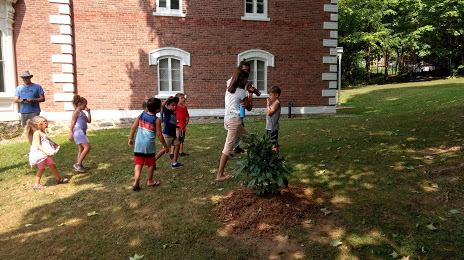
Photo
Where is located Grange Fleury
Grange Fleury — local attraction, which is located at 18 Rue Laurier O b, Victoriaville, QC G6P 6P3, Canada and belongs to the category — museum. Average visitor rating for this place — 4.6 (according to 5 ratings, information from open sources and relevant for 2022).
Exact location — Grange Fleury, marked on the map with a red marker.
You can get directions to Grange Fleury on the map from your location.
What else is interesting in Victoriaville? You can see all the sights if you go to the city page.
Coordinates
Grange Fleury, Canada coordinates in decimal format: latitude — 46.03721160413886, longitude — -71.91523630189837. When converted to degrees, minutes, seconds Grange Fleury has the following coordinates: 46°2′13.96 north latitude and -71°54′54.85 east longitude.
Nearby cities
The largest cities that are located nearby:
- Trois-Rivières — 55 km
- Sherbrooke — 73 km
- Levis — 93 km
- Quebec — 99 km
- Longueuil — 133 km
- Montreal — 139 km
- Laval — 144 km
- Saguenay — 270 km
- Gatineau — 297 km
- Manchester
 (United States) — 341 km
 - Lowell (United States) — 382 km
- Kingston — 411 km
- Cambridge (United States) — 413 km
- Amherst (United States) — 413 km
- Boston (United States) — 415 km
- Worcester (United States) — 420 km
- Springfield (United States) — 440 km
- Providence (United States) — 470 km
- Syracuse (United States) — 474 km
Distance to the capital
Distance to the capital (Ottawa) is about — 301 km.