
 Pointe-à-la-Croix
Sainte-Irène, Quebec
Marsoui
Hecla
Muskrat Dam
Wunnummin Lake
Sainte-Brigitte-de-Laval
Drayton
Mauricie
Pointe-à-la-Croix
Sainte-Irène, Quebec
Marsoui
Hecla
Muskrat Dam
Wunnummin Lake
Sainte-Brigitte-de-Laval
Drayton
Mauricie
Centre d'exposition de Blainville on the map, Blainville, Canada
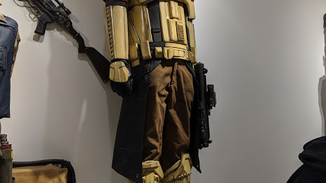
Photo
Where is located Centre d'exposition de Blainville
Centre d'exposition de Blainville — local attraction, which is located at 1000 Chem. du Plan Bouchard, Blainville, QC J7C 3S9, Canada and belongs to the category — art gallery. Average visitor rating for this place — 3.8 (according to 11 ratings, information from open sources and relevant for 2022).
Exact location — Centre d'exposition de Blainville, marked on the map with a red marker.
You can get directions to Centre d'exposition de Blainville on the map from your location.
What else is interesting in Blainville? You can see all the sights if you go to the city page.
Coordinates
Centre d'exposition de Blainville, Canada coordinates in decimal format: latitude — 45.67982883269649, longitude — -73.87439220191037. When converted to degrees, minutes, seconds Centre d'exposition de Blainville has the following coordinates: 45°40′47.38 north latitude and -73°52′27.81 east longitude.
Nearby cities
The largest cities that are located nearby:
- Laval — 14 km
- Montreal — 30 km
- Longueuil — 32 km
- Trois-Rivières — 126 km
- Gatineau — 143 km
- Sherbrooke — 157 km
- Levis — 231 km
- Quebec — 235 km
- Kingston — 261 km
- Syracuse
 (United States) — 343 km
 - Manchester (United States) — 354 km
- Saguenay — 368 km
- Amherst (United States) — 385 km
- Lowell (United States) — 395 km
- Springfield (United States) — 408 km
- Rochester (United States) — 410 km
- Worcester (United States) — 413 km
- Cambridge (United States) — 429 km
- Boston (United States) — 432 km
Distance to the capital
Distance to the capital (Ottawa) is about — 145 km.